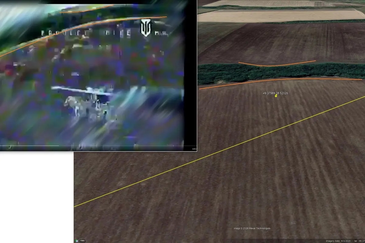
Open-source intelligence (OSINT) analysts have identified the presumed crash site of a Russian Su-35 fighter jet shot down by the Ukrainian Air Force on July 8. The aircraft came down about 42 kilometers from the front line, near the village of Mostky in Ukraine's Luhansk Region (geolocation).
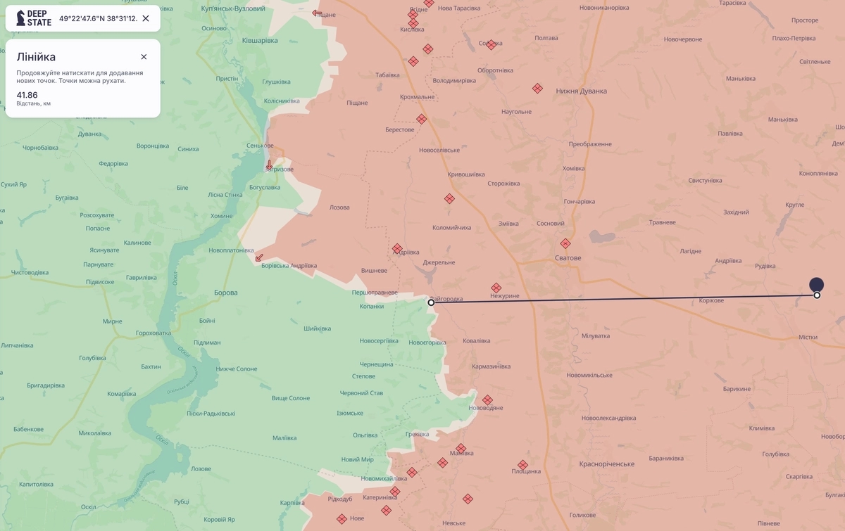
According to analysts at Ukraine Control Map, the pilot may have believed he was operating at a safe distance from the combat zone due to inaccuracies on maps published by the Russian Defense Ministry. Ukrainian sources note that Moscow routinely depicts territories as captured even though they remain under Ukrainian control.
The Insider verified the coordinates published by the OSINT analysts. Satellite imagery of the area shows a burning object consistent with the reported crash site.